China Warns as U.S.-Philippines Cooperation Expands in Palawan
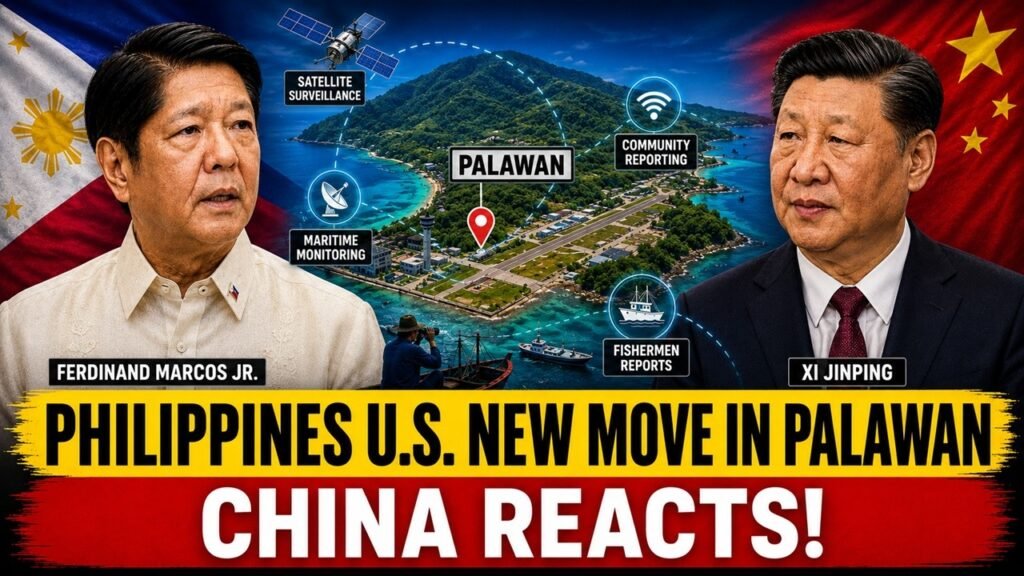
China’s reaction to a new U.S.-supported civilian reporting center in Palawan has raised a bigger question than the project itself: why would Beijing pay attention to a facility designed to help Filipino fishermen report illegal fishing and suspicious maritime activity? On the surface, the answer seems simple. The project is about fisheries protection, environmental monitoring and civilian reporting. But its location, technology and connection to a wider Philippine maritime-awareness environment give it a much broader strategic context.
Just five days later, on August 18, Chinese Foreign Ministry spokesperson Lin Jian responded to a question about the Palawan center. China said it did not oppose normal cooperation between the United States and the Philippines but warned that such cooperation should not target third parties or harm their interests. Lin also said Beijing had taken note of the reports and would closely watch the situation.
That timing is important. China was not reacting to a new missile system, a warship deployment or the construction of a new military base. It was responding to a civilian maritime reporting initiative. That suggests the real strategic issue may be the information generated by the project and how that information could fit into the Philippines’ expanding maritime-domain-awareness network.
Palawan Fishermen Reporting Center
The Community Illegal, Unreported and Unregulated Fishing Reporting Center is designed to provide Filipino fishermen with a formal mechanism for reporting suspected illegal fishing and other unusual or unlawful maritime activity. Its stated mission is civilian and connected to fisheries enforcement rather than combat operations.
The project is part of the Fish Right initiative, which focuses on strengthening fisheries governance and protecting marine resources. This is important because illegal, unreported and unregulated fishing is not only an environmental problem. In maritime areas where many vessels operate close to disputed waters, fisheries enforcement can also become connected to questions of vessel identity, location, movement and behavior.
The center therefore gives local fishermen a way to move observations into an official reporting process. Instead of an unusual encounter remaining a private conversation within a fishing community, information can potentially reach Philippine authorities who can determine whether it is credible, whether it requires investigation and whether it matches other information already available.
The technology also matters. The use of Starlink means the reporting system can rely on satellite connectivity in areas where traditional communications infrastructure may be limited. EarthRanger provides a digital platform for organizing and managing information from field observations. The combination means that the project is not simply asking fishermen to make telephone calls or submit informal complaints. It is creating a more structured digital pathway between people at sea and authorities onshore.
Palawan More Important Than It Looks
The strategic significance of the project begins with geography. Palawan is located along the western side of the Philippines and faces the South China Sea. Its position places the province close to one of the most sensitive maritime environments in Southeast Asia.
Puerto Princesa is also home to the Armed Forces of the Philippines’ Western Command, commonly known as WESCOM. The command has responsibility for Philippine military efforts in the western maritime areas, including the South China Sea. This makes Palawan an important operational location even before the new civilian reporting project appeared.
Antonio Bautista Air Base adds another layer. The air base is one of the nine Philippine locations covered by the Enhanced Defense Cooperation Agreement between Manila and Washington. During U.S. Defense Secretary Lloyd Austin’s November 19, 2024 visit to Palawan, he and Philippine Defense Secretary Gilbert Teodoro visited Antonio Bautista Air Base and WESCOM.
Why Are Fishermen Strategically Valuable?
The most interesting part of the project may be the people using it. Fishermen are already operating in areas where government vessels and aircraft cannot maintain continuous coverage.
A Philippine Navy vessel may patrol an area for a limited period. A Coast Guard vessel may be assigned to another mission. An aircraft can cover large distances but cannot remain overhead indefinitely. Satellites can provide wide-area imagery, but an image does not automatically explain the intentions or activities of every vessel visible in the water.
Fishermen have a different advantage. They are already present in the maritime environment. They may encounter fishing boats, coast guard vessels, research ships, cargo vessels or other craft during normal operations. They may also notice repeated activity in the same area that does not immediately appear unusual from a satellite image.
The important point is not that every fisherman becomes an intelligence source. That would be an exaggeration. The point is that civilian observations can provide another layer of maritime information. When those observations are properly verified, they can complement information collected through official channels.
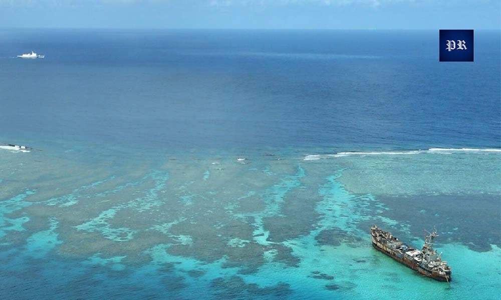
Marcos Rejects China’s Permission Demand Philippines to Resupply Sierra Madre
Why China May Be Looking Beyond the Building
China’s response makes more sense when the reporting center is viewed as one element of a much larger trend. Beijing has repeatedly objected to expanding U.S. involvement in South China Sea affairs and has criticized actions that it believes increase pressure on China.
On August 18, 2026, Chinese Foreign Ministry spokesperson Lin Jian was asked specifically about the U.S. Embassy announcement concerning the Palawan center. His response was carefully worded. China said it did not oppose normal U.S.-Philippine cooperation, but added that such cooperation should not target a third party or harm third-party interests. Lin also said China would closely watch the situation.
That wording is significant because Beijing did not publicly describe the reporting center as a military installation. Instead, the objection focused on the broader nature of U.S.-Philippine cooperation.
From Beijing’s perspective, the center can therefore be viewed against a background that includes C2 information-sharing infrastructure, U.S.-provided unmanned systems, defense cooperation under EDCA and increasing Philippine efforts to improve maritime-domain awareness.
None of these facts proves that the new civilian center is secretly part of a military surveillance network. That claim would go beyond the available evidence. The more reasonable interpretation is that China is watching the cumulative development of Philippine maritime capabilities.
Why Gray-Zone Competition Changes the Equation
The gray zone is fundamentally about ambiguity. An incident may be serious enough to matter but not serious enough to justify a military response. A fishing vessel may claim it is conducting ordinary operations. Another government may believe the activity is suspicious. A maritime encounter may produce conflicting descriptions from the vessels involved. A vessel may appear repeatedly in an area without immediately giving authorities enough evidence to determine its purpose.
Better information does not automatically resolve these disputes. What it does is give decision-makers more evidence.
A properly managed reporting system can therefore support a more cautious response. Authorities can investigate rather than immediately assume the worst. They can compare the report with independent information and determine whether a pattern exists.
This is important because maritime escalation can occur through miscalculation. If every uncertain report is treated as proof of hostile activity, tensions can rise unnecessarily. A good maritime-awareness system therefore needs both collection and verification.
What the Project Does Not Prove
It is important not to overstate the evidence. The existence of a civilian reporting center does not prove that the United States is secretly building a military surveillance network through Filipino fishermen.
There is also no evidence that the center itself is a military installation. It has a civilian fisheries-reporting purpose, and it should be described accurately. Likewise, it would be incorrect to assume that every report submitted by a fisherman will automatically enter military command systems or trigger a security response. The available information does not establish such a process.
The stronger conclusion is narrower. The project creates a formal mechanism through which civilian observations can reach Philippine authorities. Those observations can potentially become more useful when they are compared with other sources of maritime information.
That distinction between fact and interpretation is critical. The strategic importance of the project does not require a secret military role. Its potential value can exist entirely within its stated civilian mission.
Why the Technology Matters More Than It First Appears
Starlink is important because connectivity is a basic requirement for any real-time reporting system. A reporting mechanism is only useful if information can move from the person observing an incident to the authority responsible for assessing it.
Remote maritime communities may face connectivity limitations that make conventional reporting difficult. Satellite internet can help bridge that gap.
EarthRanger adds another dimension by providing a digital environment for managing reports and field information. The significance is therefore not simply that fishermen can send messages. It is that information can potentially be organized into a system where reports are easier to review and compare. Over time, a digital record can become more valuable than individual reports. Authorities may be able to examine recurring incidents, locations and vessel activity. That can support more systematic fisheries enforcement and potentially improve broader maritime awareness.
Why Illegal Fishing Is Also a Security Issue
Illegal, unreported and unregulated fishing is usually treated as an environmental and economic problem. It can damage fish stocks, undermine legitimate fishermen and reduce government revenue.
But illegal fishing can also create maritime-security complications when vessels operate in contested or poorly monitored waters. Large fishing fleets can move across wide areas and may be difficult to distinguish from other maritime activity without reliable information.
That is why fisheries enforcement and maritime-domain awareness can overlap without becoming the same thing.
A fisherman reporting illegal activity is not necessarily providing military intelligence. He may simply be protecting his livelihood and local marine resources. But the location, timing and identity of vessels involved in that activity can still provide authorities with useful information about what is happening at sea. This is one reason civilian maritime reporting deserves attention even when the official purpose is environmental protection.
What Could Happen Next in Palawan?
One possible development is expansion of civilian reporting mechanisms. If the Palawan model proves effective, similar systems could eventually be considered in other Philippine coastal communities where fishermen regularly encounter illegal fishing or suspicious maritime activity.
A second possibility is that Chinese diplomatic criticism becomes more frequent. Beijing has already stated that it will closely watch the situation, and future initiatives could attract similar attention if they are seen as part of expanding U.S.-Philippine maritime cooperation.
A third possibility is a more carefully managed Philippine approach. Manila can strengthen maritime awareness while maintaining clear boundaries between civilian fisheries reporting, coast guard enforcement and military operations.
That distinction could become increasingly important. The Philippines wants to improve its ability to monitor its maritime environment, but it also has an interest in preventing every improvement from being interpreted as a deliberate military escalation.
China May Be Watching the Network
The most rational explanation for China’s reaction is that Beijing may be looking beyond the physical reporting center.
The center itself is civilian. Its purpose is connected to illegal fishing reporting and maritime activity. But it has appeared in Palawan, a province that already contains WESCOM, Antonio Bautista Air Base, a bilateral C2 Fusion Center and other capabilities connected to Philippine maritime awareness.
The U.S. Department of Defense has openly described the Palawan C2 Fusion Center as an information-sharing capability and has linked unmanned surface vessels provided to the Philippines with intelligence, surveillance, reconnaissance and maritime-domain awareness.
China’s August 18 statement similarly focused on the broader question of U.S.-Philippine cooperation rather than describing the fishermen’s center itself as a military facility.
Conclusion
The controversy surrounding the Palawan reporting center is ultimately less about a fisheries office and more about maritime awareness.
The center is civilian. Its stated mission is to help fishermen report illegal fishing and suspicious maritime activity. There is no evidence that it is itself a military installation.
But its location, satellite connectivity, digital reporting technology and relationship to a wider maritime-awareness environment make it strategically interesting. The Philippines is gradually developing more ways to observe, document and understand what happens around its maritime territory. Some of those capabilities are military. Others are law-enforcement based. Others are civilian. They do not have to be part of one secret system for their combined effect to matter.
For Manila, better information can mean better fisheries enforcement, stronger documentation of maritime incidents and greater awareness of activity in the West Philippine Sea. For Washington, it represents another way to support Philippine capacity. For Beijing, it may signal that the Philippines is becoming harder to monitor and more capable of documenting maritime activity independently.
That is why a small civilian reporting center can become a geopolitical story.
The future of competition in the South China Sea will not be determined only by warships, missiles and aircraft. It will also depend on who can see more clearly, verify information faster and build a stronger record of what happens at sea. In the gray zone, visibility is power. And Palawan is increasingly becoming one of the places where that competition over information is taking shape.
About Indo-Pacific Report
For more geopolitical analysis, strategy coverage, and Indo-Pacific security reporting, visit Indo-Pacific Report:
Website
Facebook
YouTube
China Warns as U.S.-Philippines Cooperation Expands in Palawan