Have you ever wondered what would happen if a narrow stretch of ocean decided the future of two superpowers? Or how one small waterway could decide whether peace or war breaks out across the Pacific? Picture this: massive warships silently moving beneath stormy skies, submarines lurking in the depths, and fighter jets tracing invisible borders above waves that hide the tension below.
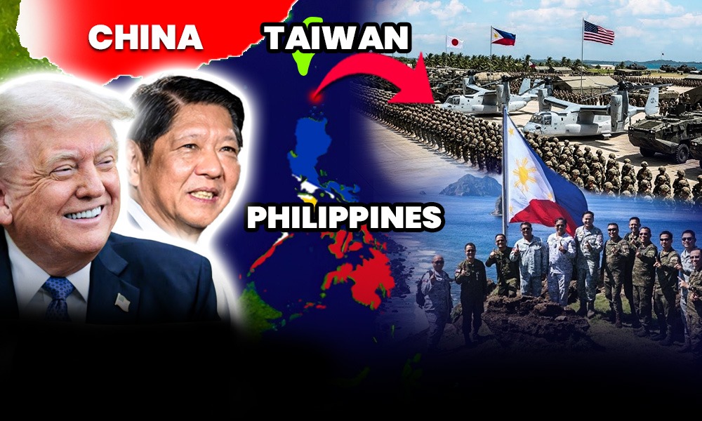
Now think of the Persian Gulf — another tight passage where global trade and oil once made it a hotspot for military standoffs between the U.S. and Iran. Every move there could trigger a chain reaction affecting the whole world. That same kind of high-stakes tension is now playing out thousands of miles away, not in the Middle East, but in the waters separating Taiwan from the northern Philippines — the Luzon Strait.
This narrow sea, once just a quiet route for fishermen, has become one of the most watched and contested areas on Earth. For the United States and its allies, it’s a vital chokepoint to contain China’s growing naval power. For Beijing, it’s the doorway to the Pacific — the key to breaking past U.S. military lines and asserting its dominance over the region.
As both sides build up bases, deploy warships, and test new alliances, the Luzon Strait has become more than a map location — it is portraying world’s shifting power. What happens here could shape not just Asia’s security, but the entire future of the Indo-Pacific.
The US-Philippines Plan: A Network of Denial and Defense
The Luzon Strait is no longer just a passage between two islands — it’s turning into a front line. The United States and the Philippines are quietly building what defense experts call a “network of denial” — a web of missile systems, bases, and surveillance networks designed to make it nearly impossible for China’s navy to move freely between the South China Sea and the Pacific Ocean.
It started during the Balikatan 2024 military exercises. For the first time outside U.S. territory, the American Army deployed its Typhon missile system to northern Luzon. The system can launch Tomahawk cruise missiles that reach over 1,600 kilometers and SM-6 missiles capable of hitting ships and aircraft hundreds of kilometers away. From Philippine soil, these weapons could strike deep into the South China Sea or even across the Bashi Channel — a clear message that the U.S. can project power across one of Asia’s most contested waterways.
Alongside this, the U.S. Marine Corps has introduced its NMESIS launchers — small, truck-mounted systems that fire Naval Strike Missiles, sleek and deadly weapons designed to skim just above the waves before slamming into enemy ships. Each missile costs over $2 million and travels more than 180 kilometers, making the Luzon coast a formidable line of defense.
One American analyst put it bluntly:
“By putting mobile missile batteries in Luzon, the U.S. and the Philippines don’t have to match China ship-for-ship. They just have to make sailing through the Luzon Strait a nightmare.” — Center for Strategic and International Studies (CSIS)
But missiles alone can’t hold the line. They need strong, well-positioned bases — and that’s where the Enhanced Defense Cooperation Agreement, or EDCA, comes in. This deal gives the U.S. access to several Philippine military sites for training and logistics. Three of the newest and most strategic sites lie in Cagayan and Isabela provinces, right at the country’s northern edge: Naval Base Camilo Osias, Lal-lo Airport, and Camp Melchor Dela Cruz. Together, they form the backbone of this regional defense network.
Camilo Osias stands out. It’s only about 400 kilometers from Taiwan — close enough to launch patrols or respond instantly if tensions rise. The base is being modernized with extended runways, ammunition depots, and radar control centers. The U.S. has already poured over $100 million into upgrading EDCA facilities, transforming them into hubs for quick deployment and regional surveillance.
But the real battle in the Luzon Strait isn’t only happening on the surface — it’s also taking place deep below. The strait’s waters plunge more than 2,000 meters and are filled with unpredictable currents and internal waves. These underwater conditions make it a perfect hiding place for submarines — and a nightmare for anyone trying to detect them.
To counter that, the U.S., Japan, and the Philippines have stepped up joint anti-submarine operations. American and Japanese P-8 Poseidon patrol planes now fly regular missions over the strait, dropping sonar buoys to scan the depths. Meanwhile, Philippine Jose Rizal-class frigates and U.S. Arleigh Burke destroyers use advanced sonar systems to track underwater movement. Plans are also in motion to deploy undersea sensors and drones to monitor the Bashi Channel around the clock.
Together, these efforts are transforming the Luzon Strait into one of the most closely watched and defended waterways on Earth. What was once a quiet route for fishing boats and freighters is now a high-stakes arena — where every radar ping, sonar echo, and satellite image could be part of a much bigger strategy to shape the balance of power in the Indo-Pacific.
The Geopolitical Significance of the Luzon Strait
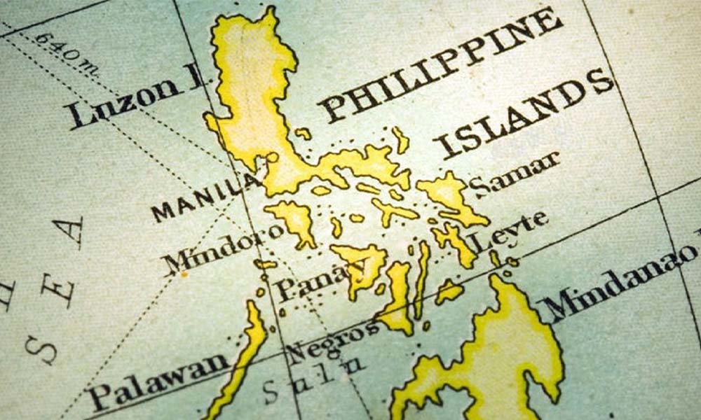
It’s one of the most important stretches of water in the world — yet most people have never heard of it. The Luzon Strait, a narrow band of ocean just 250 kilometers wide, separates the northern tip of the Philippines from the southern edge of Taiwan. Inside it runs the Bashi Channel — deep, narrow, and perfectly placed. For submarines and warships, it’s like a hidden doorway between the South China Sea and the Pacific Ocean.
For China’s navy, this passage is a lifeline. It’s the main route their submarines take to reach the wider Pacific. But for the United States and its ally, the Philippines, it’s a potential choke point — a place where they can slow or stop China’s advance. And that’s exactly why the Luzon Strait has become one of the most closely watched flashpoints in Asia’s growing power struggle.
During the Balikatan 2025 military exercises, the calm shores of the Batanes Islands suddenly turned into a scene straight out of a modern war film. American Marines from the 3rd Marine Littoral Regiment rolled out their NMESIS launchers — powerful “ship-killer” missiles capable of striking enemy vessels from land. The operation was part of what the U.S. called a test of “sea denial” — the idea that if conflict ever breaks out, they can block Chinese ships before they even enter the strait. One U.S. commander summed it up simply: these drills were about “deterring, responding, and prevailing.”
Ukraine’s Combat UAV Steals the Show at Philippines Defense Exhibition
This isn’t just about one exercise. It’s part of a bigger strategy known as integrated deterrence — the combined effort of the U.S. and the Philippines to build a defensive shield in the Luzon Strait. Under the Enhanced Defense Cooperation Agreement, or EDCA, American access to bases in Cagayan, Isabela, and other northern provinces has expanded fast. These upgraded bases allow the U.S. to deploy forces quickly, resupply faster, and stay within striking range of both the strait and Taiwan.
But while Washington and Manila strengthen their defenses, Beijing is pushing back hard. Chinese officials warn that the two allies are “playing with fire” and “militarizing” the region. At the same time, China’s own navy isn’t staying quiet. Its aircraft carriers — the Liaoning and the Shandong — have sailed through the Bashi Channel several times in the past two years, closely tracked by Japanese patrol aircraft. Chinese coast guard and research ships have also been seen near the Batanes area, raising fears that these quiet islands could soon find themselves caught in the middle of something far bigger.
Today, the Luzon Strait is more than just water — it’s a symbol of the new Cold War unfolding in the Indo-Pacific. For the U.S. and the Philippines, it’s about defending freedom of navigation and regional stability. For China, it’s about breaking through to the Pacific and surrounding Taiwan from multiple directions. And for the people of Batanes, it’s a daily reminder that their peaceful homeland now sits at the edge of a possible future battlefield.
The Escalation and Implications: China’s Response and Regional Stability
The Luzon Strait — once just a quiet stretch of blue between Taiwan and the Philippines — is rapidly becoming one of the most militarized waterways in the Indo-Pacific. For Washington and Manila, the goal is clear: turn this corridor from a Chinese gateway into a defensive barrier.
This isn’t theory anymore. It’s happening — right now.
Over the past two years, the United States and the Philippines have been testing new systems, expanding airfields, and deploying sensors to track everything that moves, above and below the waves. Together, they’re building what defense planners call a “network of denial and defense.” In simpler terms — they’re making the strait too dangerous for any hostile ship or submarine to cross.
Hegseth’s Daring Strategy to COUNTER China in Southeast Asia
During the 2024 and 2025 Balikatan exercises, U.S. Marines rolled out one of their most advanced coastal defense weapons: the Navy-Marine Expeditionary Ship Interdiction System, or NMESIS. It fires the Naval Strike Missile — a sleek, radar-evading weapon capable of hitting targets over 180 kilometers away.
Each missile costs over two million dollars. But in return, it gives Washington and Manila something priceless — the ability to strike enemy warships before they ever get close.
In April 2025, the 3rd Marine Littoral Regiment airlifted these launchers to Basco, Batanes, using C-130 aircraft. No live fire was done, but the symbolism was unmistakable. The allies were demonstrating that they could, within hours, transform the Luzon Strait into what one U.S. officer called “a maritime kill zone.”
Defense experts describe this as part of a “porcupine strategy.” As one analyst from the Center for Strategic and International Studies put it, “The Philippines doesn’t need to match China ship for ship. It just needs to make any attempt to enter its waters too costly to try.”
To sustain this strategy, infrastructure matters — and that’s where the Enhanced Defense Cooperation Agreement, or EDCA, comes in. This pact gives the U.S. access to key bases across the Philippines. Of the nine approved EDCA sites, three stand out for their proximity to Taiwan and the Luzon Strait: Naval Base Camilo Osias and Lal-lo Airport in Cagayan, and Camp Melchor Dela Cruz in Isabela.
All three are being expanded — longer runways, reinforced hangars, and new command centers. The U.S. Department of Defense has already invested over $100 million into these upgrades, ensuring American and Filipino forces can deploy, refuel, and respond faster than ever before.
But the real chessboard isn’t just on the surface. It’s below it.
The Luzon Strait’s undersea geography is among the most complex in the world — deep trenches, powerful internal waves, unpredictable currents. Perfect terrain for submarines to hide — and a nightmare for those trying to detect them.
To counter this, the U.S., Japan, and the Philippines have ramped up anti-submarine warfare operations. P-8 Poseidon patrol aircraft now sweep the skies daily, their sensors tracking the faint signatures of Chinese submarines slipping between the South China Sea and the Pacific. Japanese surveillance planes often join them — a quiet signal of deepening trilateral coordination.
Meanwhile, on the surface, U.S. destroyers and Philippine frigates use advanced sonar to map the depths. Plans are also underway to install unmanned underwater vehicles and seabed sensor arrays across the Bashi Channel — forming an invisible “tripwire” to monitor every underwater movement.
All these steps — from missile systems to underwater sensors — are turning the Luzon Strait into one of the most closely watched and defended chokepoints in Asia.
As one IndoPacific Report analyst put it, “The Luzon Strait has become the front porch of the first island chain — whoever controls it, controls the gates to the Pacific.”
Even without a single shot fired, the power balance here is shifting. The Philippines is no longer just a bystander in the rivalry between Washington and Beijing — it’s becoming a central player, guarding one of the world’s most strategic maritime crossroads.
U.S. Missiles in Philippines Can REACH China Faster Than You Think
End Words: Future Trajectory of the Chokepoint Competition
The narrow stretch of the Luzon Strait is fast becoming one of the most important pieces on the strategic board in the Indo-Pacific. The United States and the Philippines see it not just as water between islands, but as the key choke-point through which China’s navy would need to pass if it sought to push into the Pacific. The message being sent is clear: controlling this passage is central to the U.S. plan to check China’s naval reach. In fact, in his April 2025 posture statement, Admiral Samuel J. Paparo of United States Indo Pacific Command highlighted that the U.S. is working “to strengthen peace, stability, and deterrence across the Indo-Pacific region.”
Looking ahead, the success of this strategy hinges on two big things. First, the Philippines must keep moving strongly and quickly in its military build-up and the activation of bases under the Enhanced Defense Cooperation Agreement (EDCA). As one recent Philippine article noted, the U.S.-Philippine alliance is “midway through” an upgrade phase under President Ferdinand R. Marcos Jr., who has reaffirmed that EDCA remains a “cornerstone” of the partnership.
Second, the United States must maintain a persistent and resilient “stand-in force” presence — meaning it must be ready, capable, and willing to operate in the region continuously, not just in bursts of exercise. As the U.S. stated recently: “We support a free and open Indo-Pacific… we seek to preserve peace and stability, uphold freedom of navigation and overflight, maintain the free flow of trade, and oppose coercion to settle maritime disputes.”
In essence, if the Philippines and the U.S. keep their commitments and investments strong, the Luzon Strait could become a real barrier — not just a bottleneck — for any navy trying to move unchecked. But if either side falters — if the Philippines drags its feet on base upgrades, or the U.S. becomes less present or equipped — then the advantage shifts. The free flow of goods, the open access of sea lanes, and even local security all tie back to what happens in those narrow waters. To quote a recent statement: “The United States supports a free and open Indo-Pacific…,” which implies that the fate of this region is tied directly to whether the Luzon Strait remains open — or becomes locked.