Philippines’ Tiny New MULA Satellite Matters for the South China Sea
The Philippines is preparing to launch its most advanced satellite ever built: the Multispectral Unit for Land Assessment (MULA). Scheduled to fly aboard a SpaceX mission in 2027, the 130-kilogram satellite represents far more than a technological achievement. It marks an important step toward greater national self-reliance in monitoring the country’s land and maritime territory.
For years, the Philippines has relied heavily on allied intelligence, commercial satellite imagery, and foreign maritime surveillance systems to monitor developments in the South China Sea. While those partnerships remain valuable, the ability to collect and analyze its own data is becoming increasingly important as regional tensions continue.
Why MULA Matters
MULA will support agriculture, disaster response, environmental monitoring, maritime awareness, and national security. According to Philippine plans, it will observe tens of thousands of square kilometers every day, providing timely information for both civilian and government agencies.
More importantly, MULA is the foundation of a broader Philippine satellite program. President Ferdinand Marcos Jr. has approved plans to expand the initiative into a larger constellation of locally supported satellites, strengthening long-term space capabilities.
Geography and Information Power
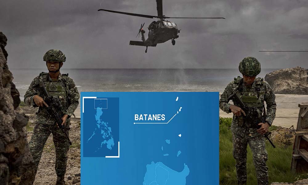
The Philippines occupies one of the world’s most strategic maritime locations, sitting between the South China Sea, the Philippine Sea, the Luzon Strait, and sea lanes that carry a significant share of global trade.
Philippines Strengthens Grip in South China Sea with Pag-asa Runway Upgrade
In today’s security environment, geography alone is not enough. Countries also need independent situational awareness. Satellites, radar, drones, artificial intelligence, and maritime sensors now provide governments with the information needed to detect unusual activity early and respond quickly.
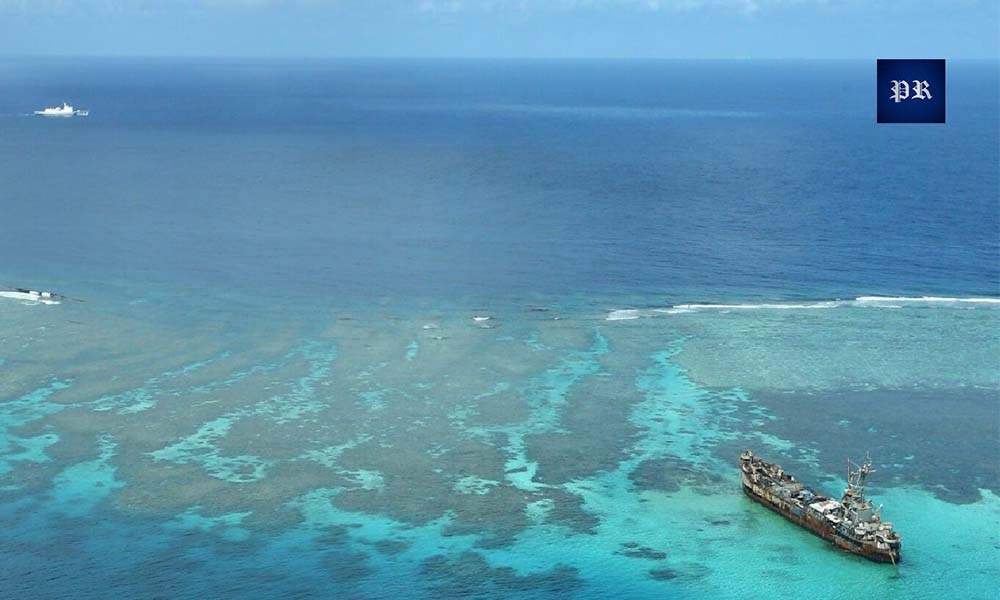
The South China Sea Is Becoming an Information Contest
Modern competition increasingly depends on who identifies developments first. Persistent satellite monitoring can help detect vessel movements, floating platforms, construction activity, and other changes before they reshape the strategic environment.
For the Philippines, better surveillance strengthens maritime domain awareness, improves disaster preparedness, and supports diplomatic and security decision-making. It does not eliminate regional challenges, but it reduces dependence on external information and improves national resilience.
A Wider Indo-Pacific Trend
The Philippines is not alone. Countries including Japan, Australia, India, and South Korea are investing heavily in Earth observation satellites, surveillance networks, and space technologies. Across the Indo-Pacific, information is becoming as strategically valuable as traditional military assets.
Conclusion
MULA may weigh only 130 kilograms, but its strategic significance is much larger. As technology becomes central to national security, countries that can independently observe their own territory gain greater flexibility in protecting their interests.

The future of the South China Sea will depend not only on ships and aircraft, but increasingly on information, awareness, and the ability to see events as they unfold.
About Indo-Pacific Report
For more geopolitical analysis, strategy coverage, and Indo-Pacific security reporting, visit Indo-Pacific Report:
Website
Facebook
YouTube
Philippines’ Tiny New MULA Satellite Matters for the South China Sea