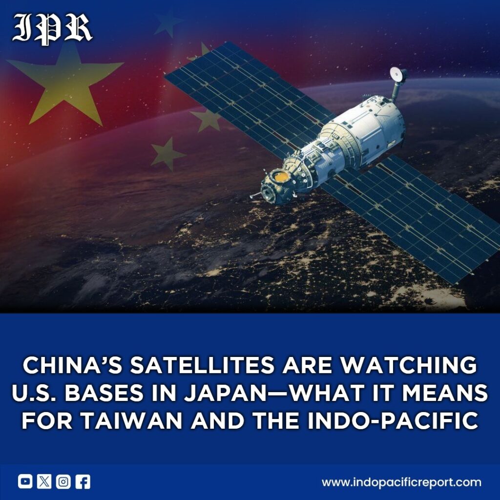
China’s recent use of Yaogan reconnaissance satellites to monitor U.S. military bases in Japan marks a significant shift in the intensity and sophistication of Beijing’s surveillance posture in the Indo-Pacific. According to open-source tracking data, these satellites pass over key installations such as Yokosuka, home to the U.S. 7th Fleet, and Sasebo, hosting amphibious assault ships, up to 60 times per day. Analysts suggest that this persistent orbital surveillance reflects Beijing’s desire to monitor U.S. force movements with near-continuous precision, a development that has direct implications for any contingency planning involving Taiwan. From a strategic lens, this represents more than just satellite tracking—it is a visible manifestation of China’s growing ability to project power in the region without immediate physical confrontation.
The operational pattern of these satellites also signals a clear anti-access/area denial (A2/AD) strategy. By concentrating coverage between 35 degrees north and south, China can monitor the First and Second Island Chains, encompassing Okinawa, Taiwan, the Philippines, and Guam. This mirrors China’s broader effort to shape the maritime domain in its favor. With geospatial intelligence on U.S. naval deployments, Beijing can calculate the optimal timing and approach for any regional maneuver, including a potential Taiwan scenario, while limiting exposure to American countermeasures. In essence, these satellites function as an extension of China’s maritime strategy, allowing it to influence the operational calculus of U.S. and allied forces across the western Pacific.
For the regional security architecture, the implications are profound. Japan, traditionally reliant on the U.S. nuclear umbrella and maritime deterrence, now faces near-continuous observation of its military posture. Such transparency undermines strategic ambiguity, a core tenet of deterrence. Other regional actors, from Taiwan to the Philippines, must now consider that China possesses both the surveillance fidelity and the operational patience to monitor allied forces in near-real time. This dynamic may force a recalibration of deployment patterns, operational security measures, and even military modernization priorities throughout the region, placing additional strain on the U.S.-Japan alliance.
The alliance dimension is particularly salient. Persistent satellite monitoring of U.S. forces in Japan complicates the operational environment for combined U.S.-Japan exercises and rapid-response contingencies. It may incentivize Tokyo and Washington to increase the mobility of forward-deployed forces, disperse high-value assets, or enhance cyber and electronic countermeasures. At the same time, this intensifies pressure on the U.S. to reinforce its regional presence, possibly through rotational deployments to Guam, the Philippines, and northern Australia. In this way, satellite reconnaissance is not merely intelligence collection—it is a strategic tool to test alliance cohesion, operational flexibility, and deterrence credibility.
Economic and maritime dimensions intersect with these developments. Control over the First and Second Island Chains allows China to project influence over major sea lines of communication (SLOCs) that underpin global trade. The combination of surveillance satellites, amphibious training exercises, and carrier deployments enhances China’s ability to threaten these maritime arteries indirectly, affecting both commercial shipping and military mobility. By integrating space-based ISR (intelligence, surveillance, reconnaissance) with naval maneuvering, Beijing demonstrates an increasingly holistic approach to shaping the maritime environment—a capability that extends beyond traditional military confrontations into economic leverage.
Finally, the broader Indo-Pacific balance of power is subtly shifting. The near-constant surveillance of U.S. bases signals China’s intent to dominate the intelligence layer of regional warfare, eroding the informational advantage historically held by the U.S. and its allies. While the U.S. remains militarily superior in terms of platforms and firepower, China’s satellite network allows it to pre-position forces, anticipate allied responses, and exploit gaps in readiness. Over time, this may create a layered, peacetime coercive advantage that strengthens Beijing’s negotiating position across diplomatic, military, and economic domains.
In conclusion, China’s deployment of the Yaogan satellites over Japan is more than a tactical intelligence operation—it reflects a deliberate, long-term strategy to integrate space, maritime, and alliance dynamics into a unified approach to regional dominance. For policymakers in Washington, Tokyo, and Taipei, the signal is clear: the strategic environment is becoming denser, faster, and more surveilled. To maintain credible deterrence, allies must innovate in force deployment, intelligence resilience, and operational coordination. The Indo-Pacific is entering a new era of high-frequency observation and strategic tension, where space-based reconnaissance will increasingly define the contours of power